Indian Territory

Map of Indian Territory and Oklahoma
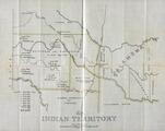
Map of the Cherokee Strip, Indian Territory
Gilcrease Museum

Scope and Content Notes
A map of the Cherokee Strip in Indian Territory leased by the Cherokee Strip Live Stock Association from the Cherokee Nation.
Archival Location
- Collection: Gilcrease Museum Map Collection


