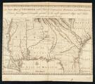
A New Map of Georgia with Part of Carolina, Florida, and Louisiana

Map of Mexico, or New Spain, Louisiana, and part of California
Survey of the coast of West Florida from Pensacola to Cape Blaise
Gilcrease Museum

Scope and Content Notes
From Map Cards:
Flordia, West Coast, Panhandle
George Gauld (1732-1782) Surveyor
British MMs. chart, colored.
Scale: One inch equals two miles
Shows towns, indian camps, plantations, brick factory
not located in Phillips Maps.
Archival Location
- Collection: Gilcrease Museum Map Collection


